
Dark mode
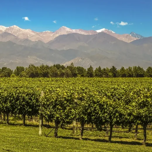
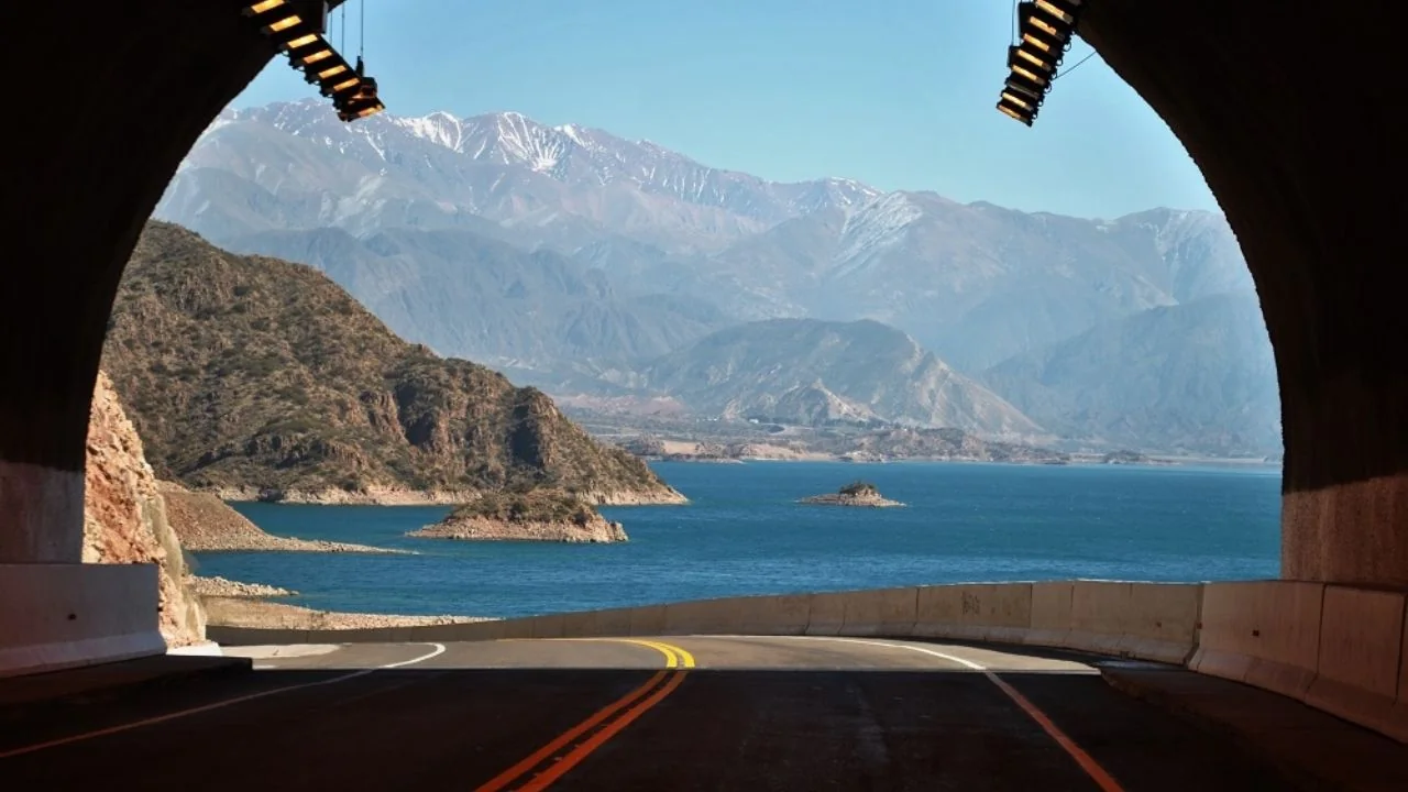
Aconcagua, the highest peak in the Americas, from the international highway

Private excursion · High Mountain

Aconcagua &High Andes Tour

From the city's 750 metres to the 2,800 of Aconcagua Provincial Park, in a single day. Private vehicle, local guide and everything included.

We reply the same day · No commitment

The route

One single day to climb 2,050 metres.

280 kilometres of international highway, from vineyard to permanent snow. Each stretch changes the landscape completely, and the last one ends facing the highest peak in the Americas.

The route

One itinerary, six stops.

Each stretch changes the landscape. Here are the six, in order, with their altitude and time.

  1. International highway towards the Andes

    01 · 8:00 AM

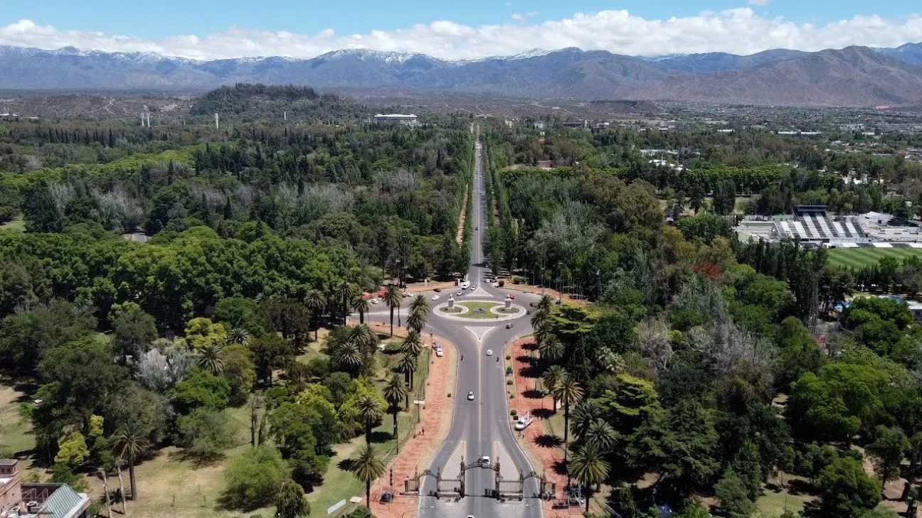
    City of Mendoza

    750m above sea level

    We leave from your hotel. Within twenty minutes the city is behind you and the road starts to climb.

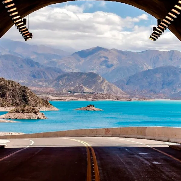
  2. Potrerillos reservoir

    02 · 9:30 AM

    Potrerillos

    1.350m above sea level

    The turquoise reservoir among ochre mountains. The first stop to breathe and take in what's coming.

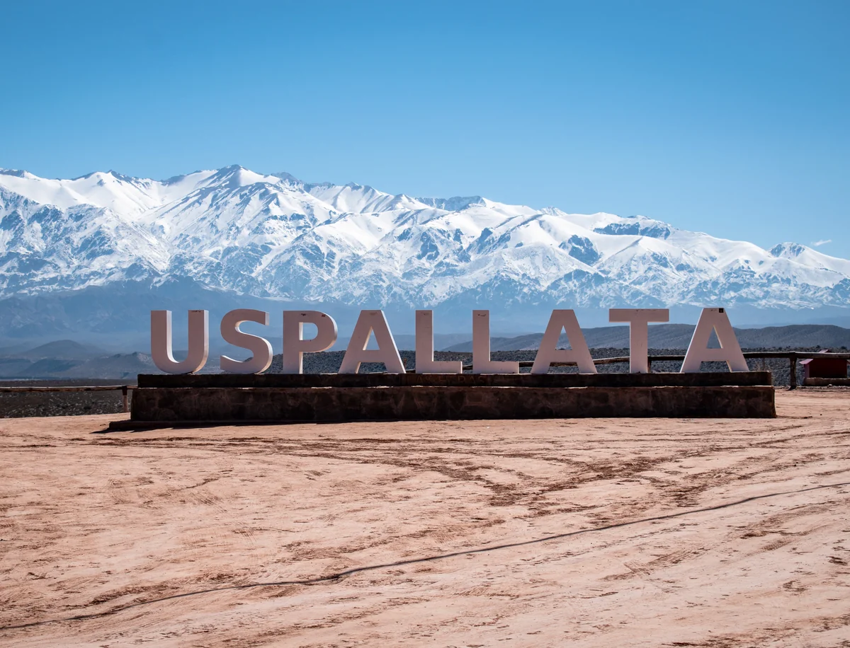
  3. Uspallata valley

    03 · 11:00 AM

    Uspallata

    1.751m above sea level

    A fertile valley ringed by arid hills, where Seven Years in Tibet was filmed.

  4. Cerro Penitentes

    04 · 12:30 PM

    Penitentes

    2.580m above sea level

    The ice spires that give the place its name, and the province's highest ski resort.

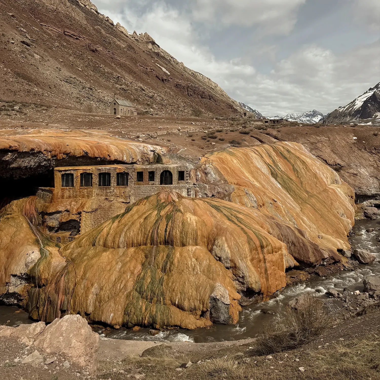
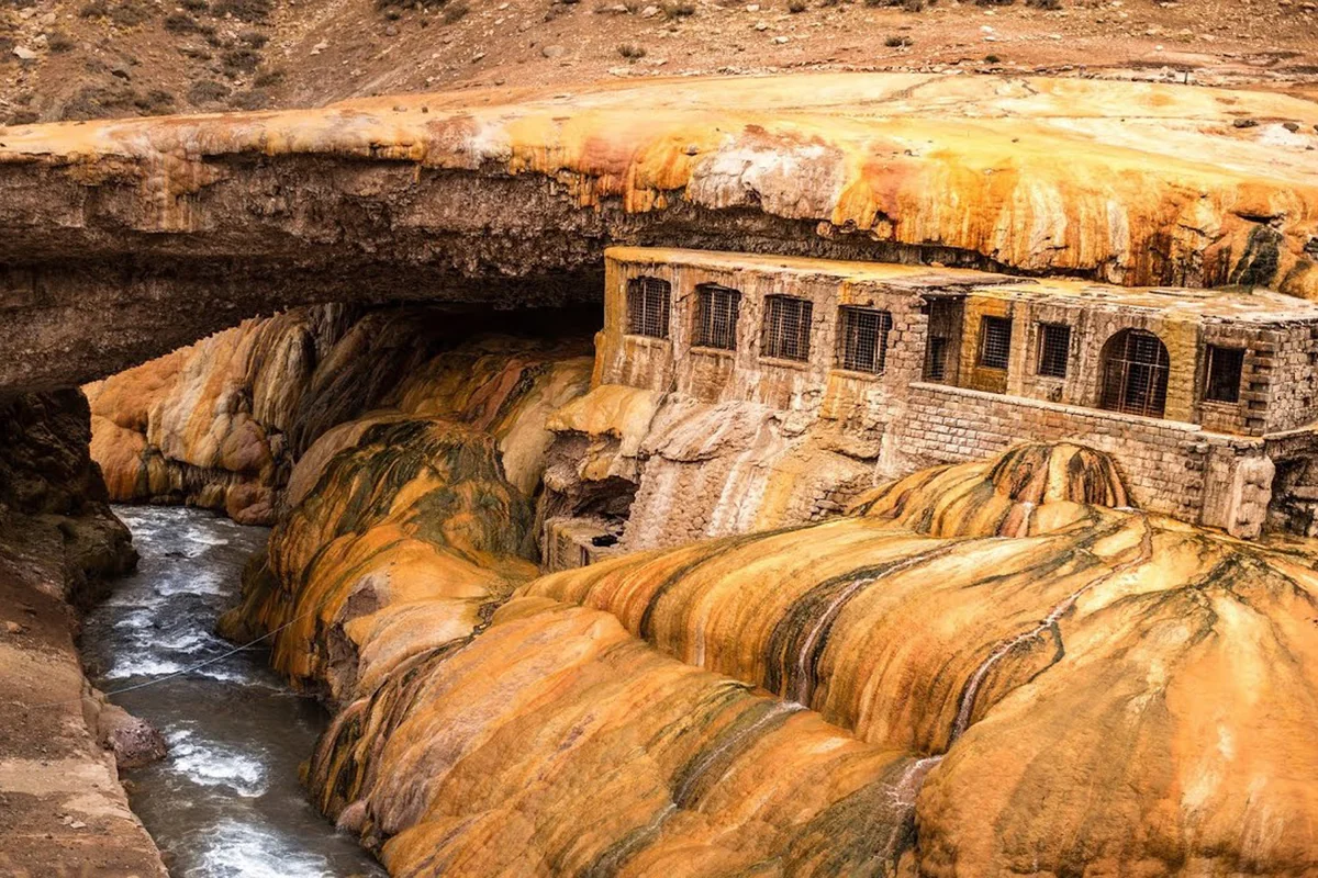
  5. Puente del Inca

    05 · 1:00 PM

    Puente del Inca

    2.720m above sea level

    The sulphur formation over the Mendoza river. This is where we have lunch, at 2,720 metres.

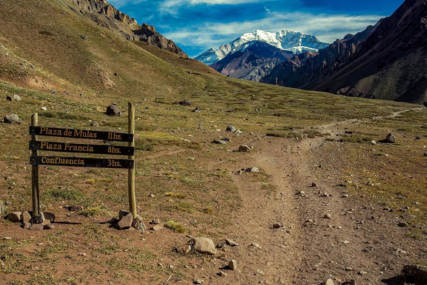
  6. Aconcagua lookout

    06 · 3:00 PM

    Aconcagua

    2.800m above sea level

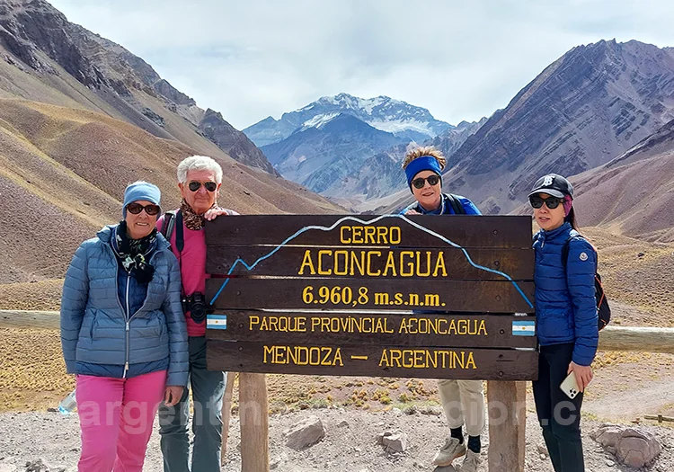
    Aconcagua Provincial Park, at 2,800 metres. From here you see the whole mountain, from base to summit.

The route, on the map

From vineyard to snow.

Choose a stop and the map flies to it. Every point is marked along National Route 7.

National Route 7, from Mendoza to the Cristo Redentor pass

The mountain

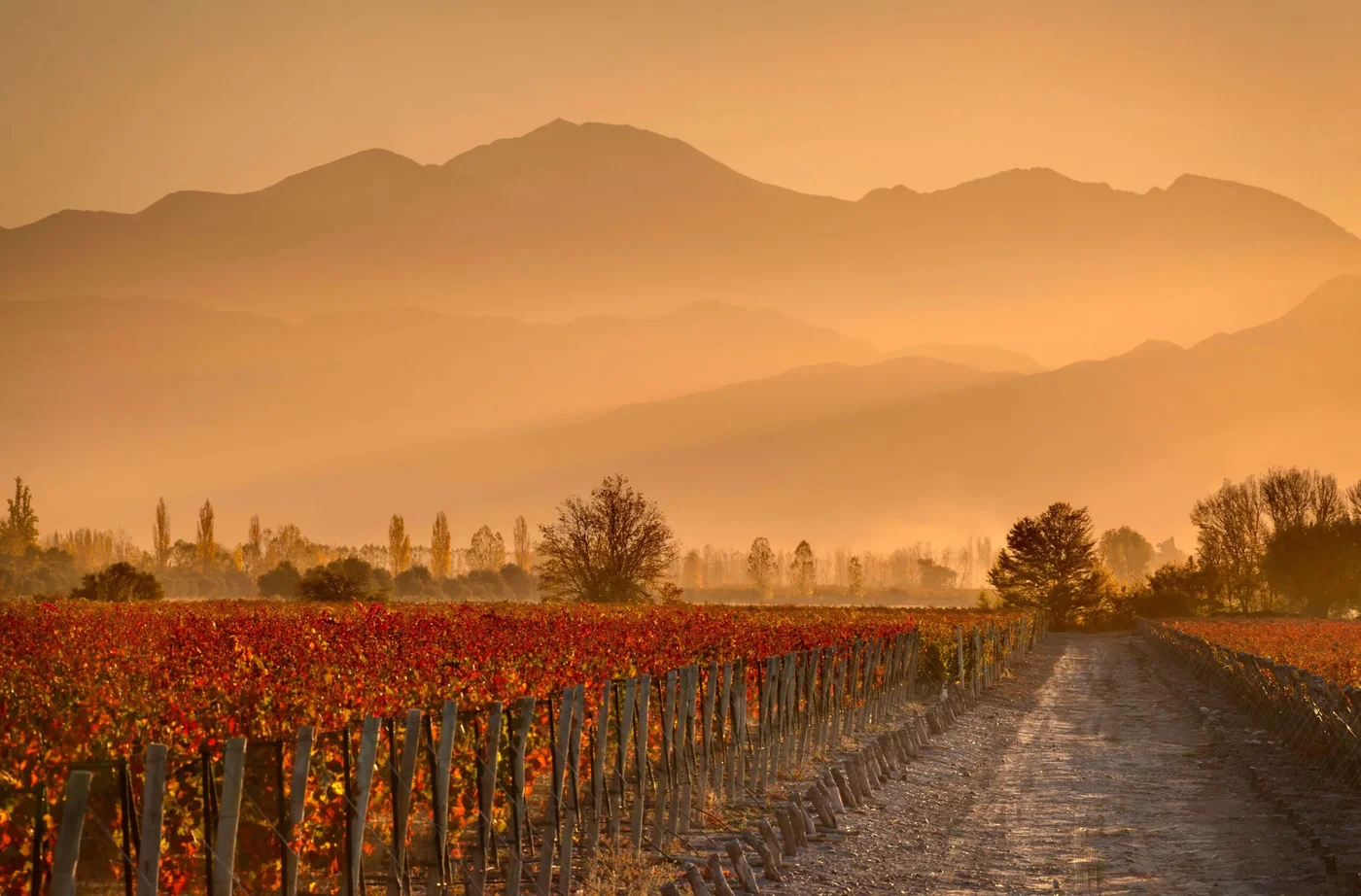
The mountain that looks over them all.

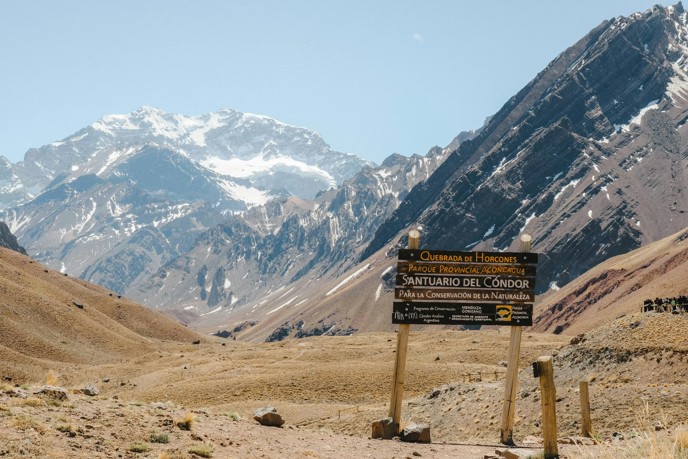
The Huarpe people called it Ackon Cahuak, stone sentinel, long before anyone thought of climbing it. It's the highest point in the southern hemisphere and in the whole continent, and nobody stood on its summit until 1897, when the Swiss climber Matthias Zurbriggen reached the top after several failed attempts by the expedition. Today around three thousand people try each season and about a third make the summit. We don't climb it: we look at it head-on from the park, at 2,800 metres, which is where the mountain is seen whole, from base to summit.
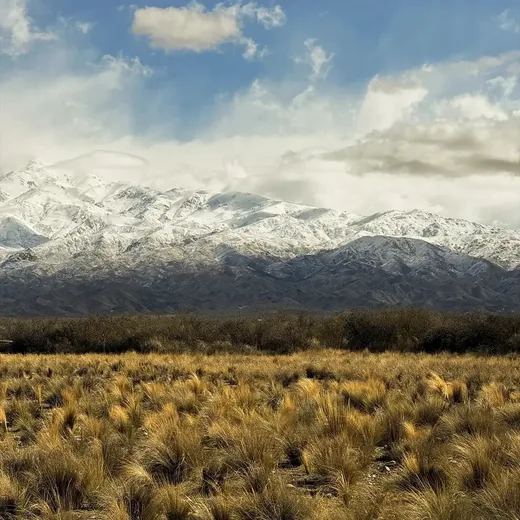
Aconcagua seen from the provincial park
Aconcagua from the provincial park

Before you go

What to bring.

You climb three thousand metres in a few hours. With these six things the day is far more enjoyable.

  1. 01LayersUp there it can be fifteen degrees colder than in the city, and windy.
  2. 02Closed shoesThe paths at Puente del Inca and the lookout are loose stone.
  3. 03Sunscreen and sunglassesAt 4,000 metres the sun hits twice as hard, even under cloud.
  4. 04Water and something sweetAltitude dehydrates you. It's best to sip steadily throughout the climb.
  5. 05ID documentThere's a border police checkpoint before the Chilean border.
  6. 06A charged camera or phoneBetween Uspallata and Aconcagua there's no signal and nowhere to charge.

The year

The same route, four landscapes.

  1. SummerDec – FebThe road open all the way to Cristo Redentor. Long days and a cloudless Aconcagua almost every day.
  2. AutumnMar – MayThe poplars of Uspallata turn yellow. The best light of the year for photographs, with fewer people.
  3. WinterJun – AugEverything under snow. The pass can close in a storm, and the route goes as far as the highway authority allows.
  4. SpringSep – NovSnowmelt fills the Mendoza river. Summits still white and valleys beginning to green.

The tour

One single format.

Private for your group, with everything taken care of. You share the vehicle with no one and the route adapts to you: if you want to linger longer facing Aconcagua, you linger.

  • Private transfer from your hotel
  • A vehicle exclusively for your group
  • Specialised local guide
  • Entrance to the provincial park
  • Lunch at Puente del Inca
  • Return to the hotel

Frequently asked

What people always ask us.

Do you feel the altitude?

At 2,800 metres some people notice slight breathlessness or a headache. We climb slowly and with stops, which is the best way for the body to adjust. If anyone feels unwell, we go back down.

Can children or older travellers come?

Yes. The route is done by vehicle and the walks are short and optional. Being private, you set the pace.

What happens if the pass is closed?

In winter the highway authority may close the road to Cristo Redentor because of snow or wind. In that case we go as far as it's open, with Aconcagua still in view from the lookout.

Can it be combined with wineries?

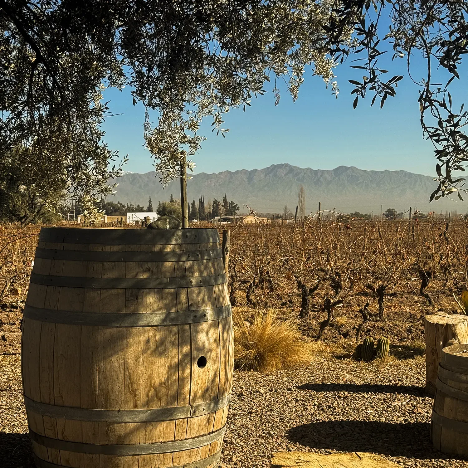
Yes, it's the most requested combination: one day in the mountains and another at the wineries. We'll put it together when you write to us.

How long does it take?

Around ten hours, from 8:00 AM to 6:00 PM, depending on how long you want to stop at each point.
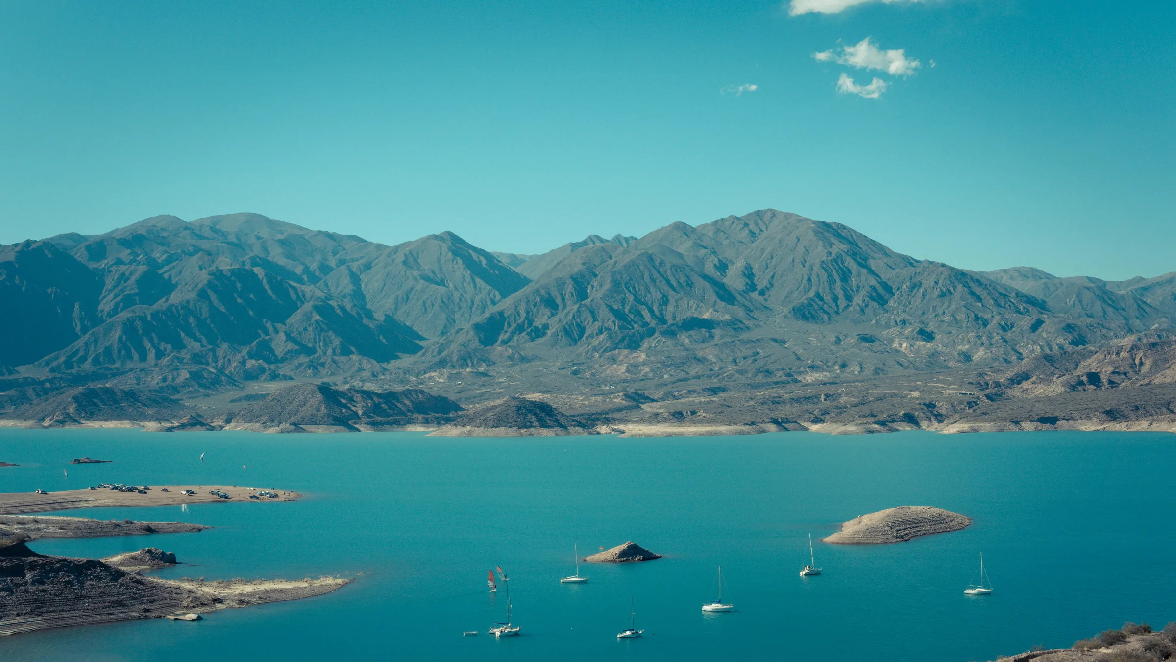
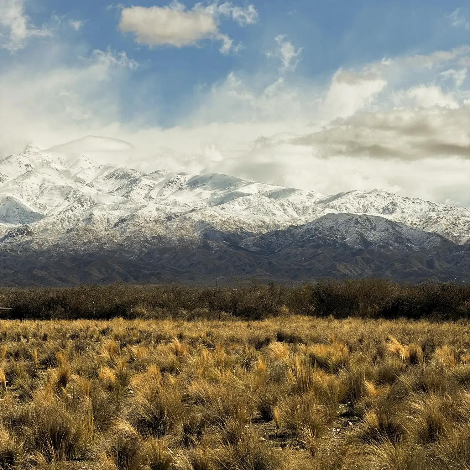
The Potrerillos reservoir with the Andes behind

The final point

The highest peak
in the Americas.

Six thousand nine hundred and sixty-one metres, head-on and with nobody rushing you. Tell us which days you're in Mendoza and we'll set it up.

We reply the same day · No commitment
Other experiences

Keep exploring

Aconcagua, the highest peak in the Americas, from the international highway

Private excursion · High Mountain

Aconcagua & High Andes Tour

From the city's 750 metres to the 2,800 of Aconcagua Provincial Park, in a single day. Private vehicle, local guide and everything included.

The route

One single day to climb 2,050 metres.

280 kilometres of international highway, from vineyard to permanent snow. Each stretch changes the landscape completely, and the last one ends facing the highest peak in the Americas.

  1. 01
    City of Mendoza

    01 · 8:00 AM

  2. 02
    Potrerillos

    02 · 9:30 AM

  3. 03
    Uspallata

    03 · 11:00 AM

  4. 04
    Penitentes

    04 · 12:30 PM

  5. 05
    Puente del Inca

    05 · 1:00 PM

  6. 06
    Aconcagua

    06 · 3:00 PM

The route, on the map

From vineyard to snow.

Choose a stop and the map flies to it. Every point is marked along National Route 7.

  • City of Mendoza 750 m
  • Potrerillos 1,350 m
  • Uspallata 1,751 m
  • Penitentes 2,580 m
  • Puente del Inca 2,720 m
  • Aconcagua 2,800 m

The mountain

The mountain that looks over them all.

Mountain scenery on the High Mountain tour

The Huarpe people called it Ackon Cahuak, stone sentinel, long before anyone thought of climbing it. It's the highest point in the southern hemisphere and in the whole continent, and nobody stood on its summit until 1897, when the Swiss climber Matthias Zurbriggen reached the top after several failed attempts by the expedition. Today around three thousand people try each season and about a third make the summit. We don't climb it: we look at it head-on from the park, at 2,800 metres, which is where the mountain is seen whole, from base to summit.

Before you go

What to bring.

You climb three thousand metres in a few hours. With these six things the day is far more enjoyable.

  • Layers 01 Up there it can be fifteen degrees colder than in the city, and windy.
  • Closed shoes 02 The paths at Puente del Inca and the lookout are loose stone.
  • Sunscreen and sunglasses 03 At 4,000 metres the sun hits twice as hard, even under cloud.
  • Water and something sweet 04 Altitude dehydrates you. It's best to sip steadily throughout the climb.
  • ID document 05 There's a border police checkpoint before the Chilean border.
  • A charged camera or phone 06 Between Uspallata and Aconcagua there's no signal and nowhere to charge.

The year

The same route, four landscapes.

  1. Summer · Dec – Feb

    The road open all the way to Cristo Redentor. Long days and a cloudless Aconcagua almost every day.

  2. Autumn · Mar – May

    The poplars of Uspallata turn yellow. The best light of the year for photographs, with fewer people.

  3. Winter · Jun – Aug

    Everything under snow. The pass can close in a storm, and the route goes as far as the highway authority allows.

  4. Spring · Sep – Nov

    Snowmelt fills the Mendoza river. Summits still white and valleys beginning to green.

The tour

One single format.

Private for your group, with everything taken care of. You share the vehicle with no one and the route adapts to you: if you want to linger longer facing Aconcagua, you linger.

  • Private transfer from your hotel
  • A vehicle exclusively for your group
  • Specialised local guide
  • Entrance to the provincial park
  • Lunch at Puente del Inca
  • Return to the hotel

Frequently asked

What people always ask us

Do you feel the altitude?

At 2,800 metres some people notice slight breathlessness or a headache. We climb slowly and with stops, which is the best way for the body to adjust. If anyone feels unwell, we go back down.

Can children or older travellers come?

Yes. The route is done by vehicle and the walks are short and optional. Being private, you set the pace.

What happens if the pass is closed?

In winter the highway authority may close the road to Cristo Redentor because of snow or wind. In that case we go as far as it's open, with Aconcagua still in view from the lookout.

Can it be combined with wineries?

Yes, it's the most requested combination: one day in the mountains and another at the wineries. We'll put it together when you write to us.

How long does it take?

Around ten hours, from 8:00 AM to 6:00 PM, depending on how long you want to stop at each point.

Sunset over the Andes at the end of the High Mountain tour

The highest peak in the Americas.

Six thousand nine hundred and sixty-one metres, head-on and with nobody rushing you. Tell us which days you're in Mendoza and we'll set it up.

Vito Wine Tours

Private winery tours in Mendoza.

+54 9 261 699-7101vitowinetours@gmail.com